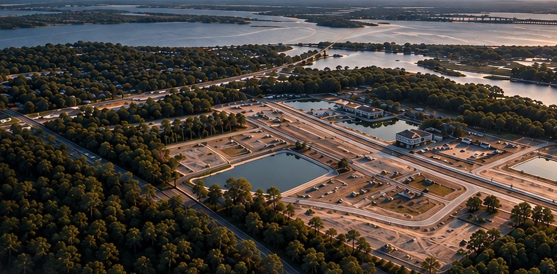
Construction Progress Reporting
Know what's changed, what's on track, and what needs attention.

Drone-based progress reporting for construction sites across Charleston and the surrounding region, backed by construction and development expertise. Catch issues early, cut wasted site visits, and build an objective record of your project from start to finish.
Know what's changed, what's on track, and what needs attention.
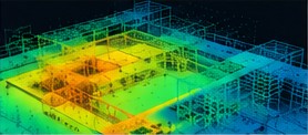
Detailed aerial maps, 3D site models, and point clouds that support measurements, site comparisons, and project planning. LiDAR available.
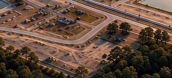
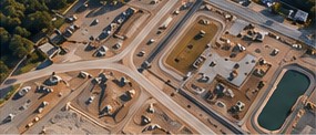
Track stockpiles and changes in site elevations to help assess earthwork progress, monitor material quantities, and inform project decisions.
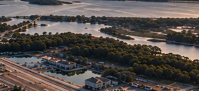
Show the full picture of your project with aerial photography and video for progress documentation, stakeholder communication, and marketing.
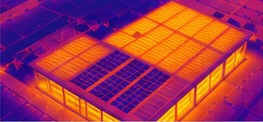
Visual and thermal inspections for structures, infrastructure, and assets.

Measurable 3D models, orthomosaics, and detailed photos of historic buildings to support preservation, repairs, and renovation.
Specialized sensorsLiDAR and thermal imaging available.Details
GDI pairs aerial site data with construction and real estate development experience to turn observations into professional analysis, clear reporting, and an objective third-party record.
Detailed maps and
3D site models
Track progress
over time
Identify issues
early
Objective records for every stage
Know what's changed, what's on track, and what needs attention.
GDI pairs recurring aerial site documentation with hands-on construction and real estate development experience. Each report goes beyond imagery: we track how the site changes from visit to visit, flag discrepancies and incomplete work, and point out what deserves a closer look.
Catching issues early reduces rework, unnecessary site visits, and repeat inspections, and limits delays before they compound.
Every report adds to a time-stamped record of the status and condition of your project or site, supporting:
Recurring and project-specific reporting programs, with scope and deliverables tailored to the project.
Progress you can verify without driving to the site, and a record to share with lenders and investors.
Earthwork quantities, sitework progress, and staging plans checked against the design and the ground as it actually is.
Independent, dated documentation of progress for draw reviews and owner reporting, from someone other than the party being paid.
Measurable existing-conditions records of historic buildings for preservation, repair, and renovation planning.
Tell us about your project. We'll recommend a scope, flight schedule, and deliverables before you commit to anything.